Article
How Downslope Winds Fuel Wildfires

Understanding the wind is the first step to understanding the risk.
Every wildfire season, strong wind events dominate headlines across the western United States. But for electric utility operations teams, the coverage rarely goes deep enough to be useful. Knowing that winds are strong and conditions are dangerous is one thing. Understanding what kind of wind event is driving that risk, how it behaves, and what it means for your specific service territory is what actually informs a good operational decision.
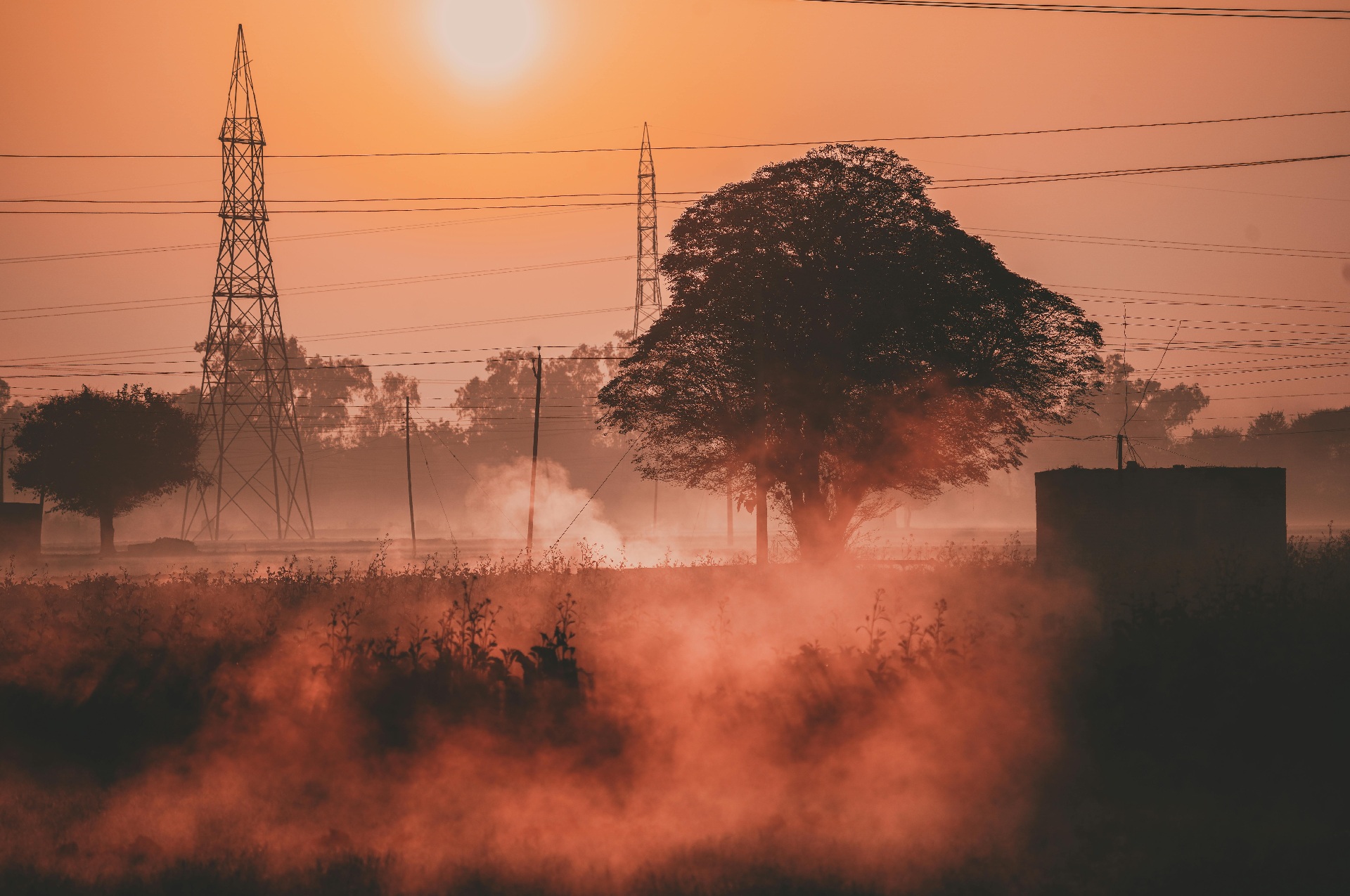
Downslope winds are worth understanding in detail, because they are among the most dangerous fire weather patterns utilities can face.
Local Names, Same Phenomenon
If you work in Southern California, you know them as Santa Ana winds. In Santa Barbara, they are called sundowner winds because they tend to develop around sunset. In northern California, they carry the name Diablo winds. In Colorado, the same dynamics produced the conditions behind the 2021 Marshall Fire. In Hawaii, a downslope windstorm drove the 2023 Lahaina Fire.
The local names differ, but the underlying phenomenon is the same. Downslope winds can occur anywhere in the world where the right terrain conditions exist. For utilities operating outside the traditionally recognized wildfire regions of California, that is an important point. This is not a California-specific hazard. It is a terrain-driven one.
How Downslope Winds Work
The mechanics come down to how air moves over mountainous terrain. When wind flows toward a mountain range, it can either split and move around the obstacle or be forced up and over the top. When it goes over the top, something interesting happens on the other side.
Under the right atmospheric conditions, the descending air on the leeward side encounters a stable air mass that deflects it sharply downward, compressing and accelerating the flow as it races toward the surface. This is the venturi effect, similar to what happens when you cover most of a garden hose nozzle with your thumb. The reduced opening increases both speed and pressure. In a downslope windstorm, the stable air layer aloft acts as that thumb, pinching airflow between the stable layer and the terrain and sending it shooting down the mountain at high speed.
The air that arrives at the surface on the leeward side is not just fast. It is also extremely dry. As air descends from altitude, it warms and loses relative humidity rapidly. The result is a combination of strong winds, very dry air, and vegetation that has been progressively dried out by the sustained wind event, all of which creates conditions that are prime for ignition.
This is also why downslope wind events tend to be more dangerous than other high-wind fire weather patterns. Cold front passages may bring similar wind speeds, but they are typically shorter in duration and often accompanied by some precipitation, which reduces ignition potential. Downslope events can persist for extended periods, continuously drying out fuels and sustaining elevated ignition risk for hours or even days.
What This Means for Utility Operations
The operational implication of downslope wind events is straightforward: a small ignition under these conditions can become a large fire very quickly. The same asset failure that might cause a manageable incident on a calm day can produce a catastrophic outcome when downslope winds are driving rapid spread across dry fuels.
For operations teams, that means the window between identifying elevated risk and needing to act is compressed. Waiting for conditions to develop before making decisions about crew positioning, de-energization, or customer notification is not a viable strategy. Utilities that manage these events well are doing so by identifying areas of concern days in advance, running spread predictions for their specific assets and terrain, and making proactive decisions before the wind arrives.
That level of preparation is achievable for utilities of any size. The same planning tools that help a large utility manage thousands of miles of line can give a smaller utility the circuit-level insight it needs to deploy limited resources where they matter most, make more precise de-energization decisions, and communicate with customers before conditions peak rather than during them.
Understanding what a downslope wind event is, how it behaves, and what it does to fire risk is the foundation for all of that. It turns a weather headline into an operational signal.