VISIBILITY FOR A CHANGING RISK LANDSCAPE
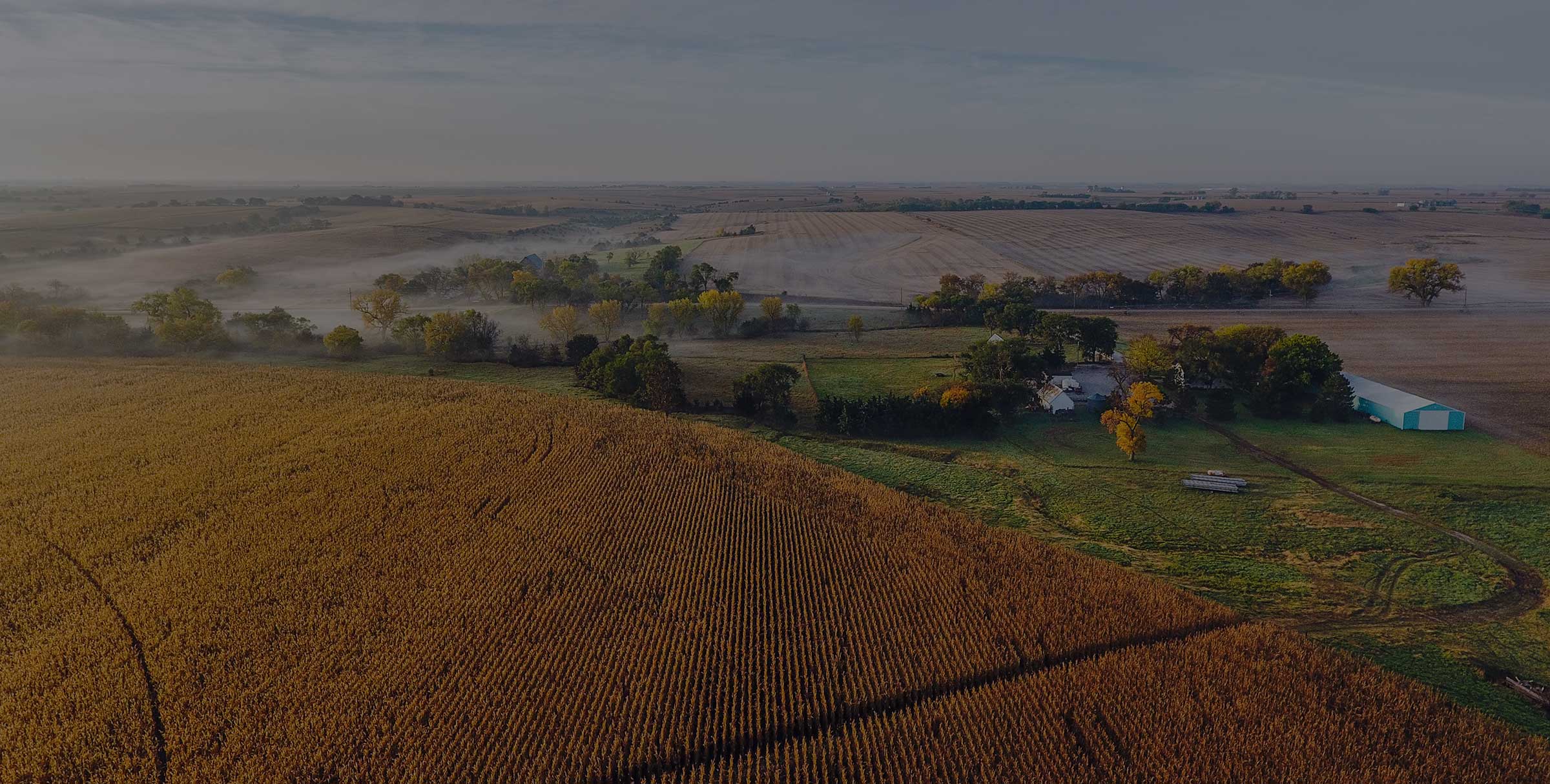
Risk is emerging in new places.
Fire danger is increasing in frequency and severity nationwide and now affects regions and communities that have historically been exempt. For the utility teams serving these areas, Technosylva’s solutions provides the visibility and data foundation to manage wildfire risk with confidence.
CONTINUOUS MONITORING
Stay ahead of changing fire danger conditions.
Static assessments give you a snapshot, but fire conditions change day-to-day. Even a “low” average-risk area can have a “high-risk” day with a catastrophic fire. Continuous monitoring answers the critical questions:
- Is there elevated risk in my territory today?
- How significant is that risk?
- Where are my highest-exposure areas?
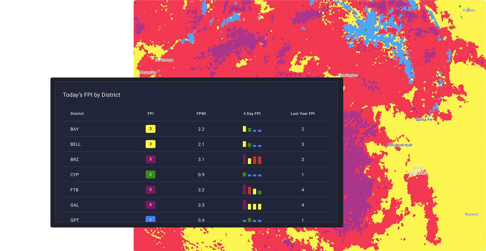
DAILY FIRE DANGER
Your risk in focus
Daily fire danger outlook gives utility teams a shared common operating picture to use as a basis for confident, coordinated action plans, and provides:
- Valuable time to make operational changes with territory-scale daily max fire danger forecasts with 48 hour lead time.
- Visibility into conditions likely to result in catastrophic power-line fires with fire danger insights (Fire Potential Index and Fire Potential Wind Index)
- The ability to identify where assets align with high fire danger conditions with utility asset overlays
- Deeper understanding of key weather variables influencing fire behavior
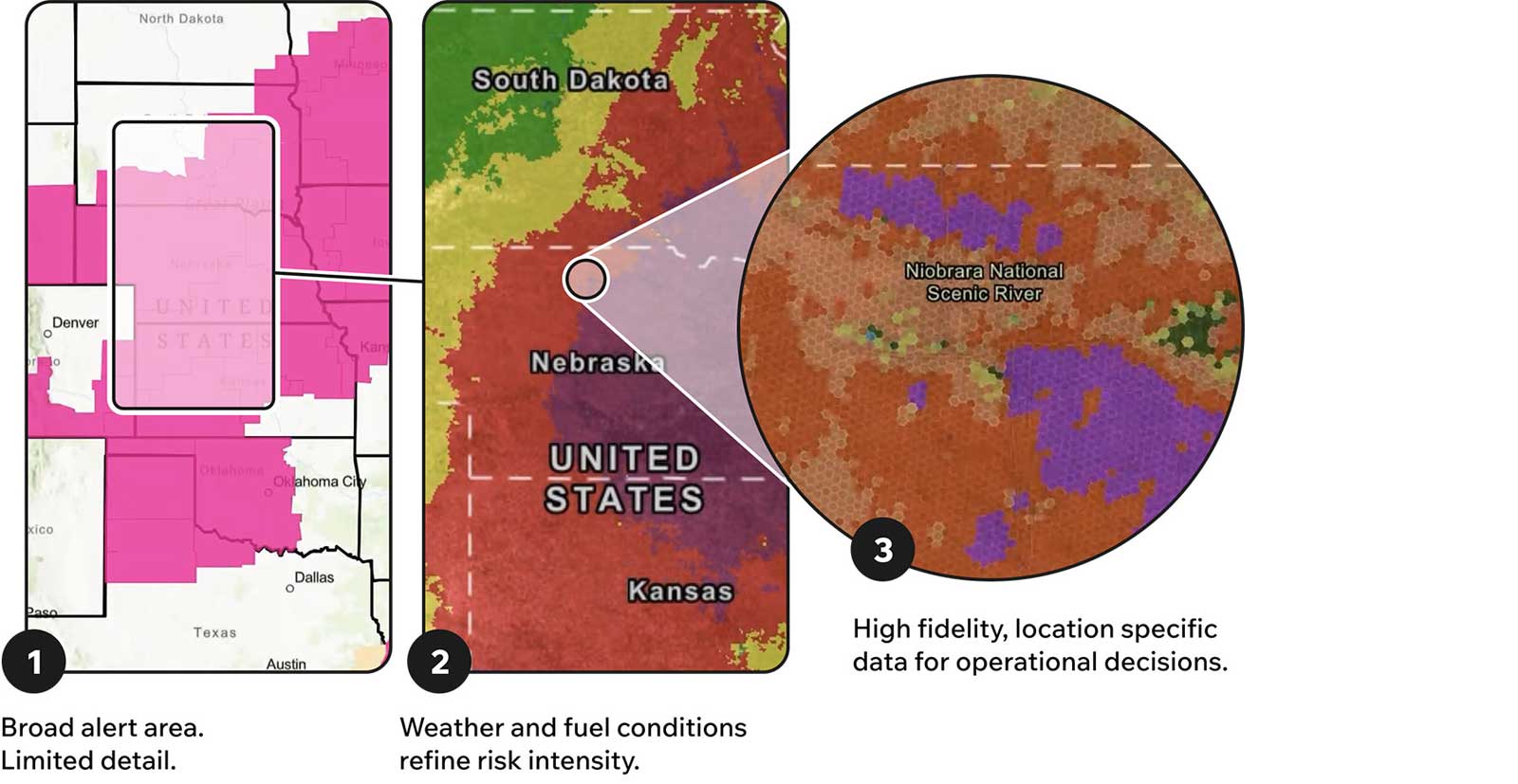
GRANULAR BY DESIGN
Sharper visibility where your customers live.
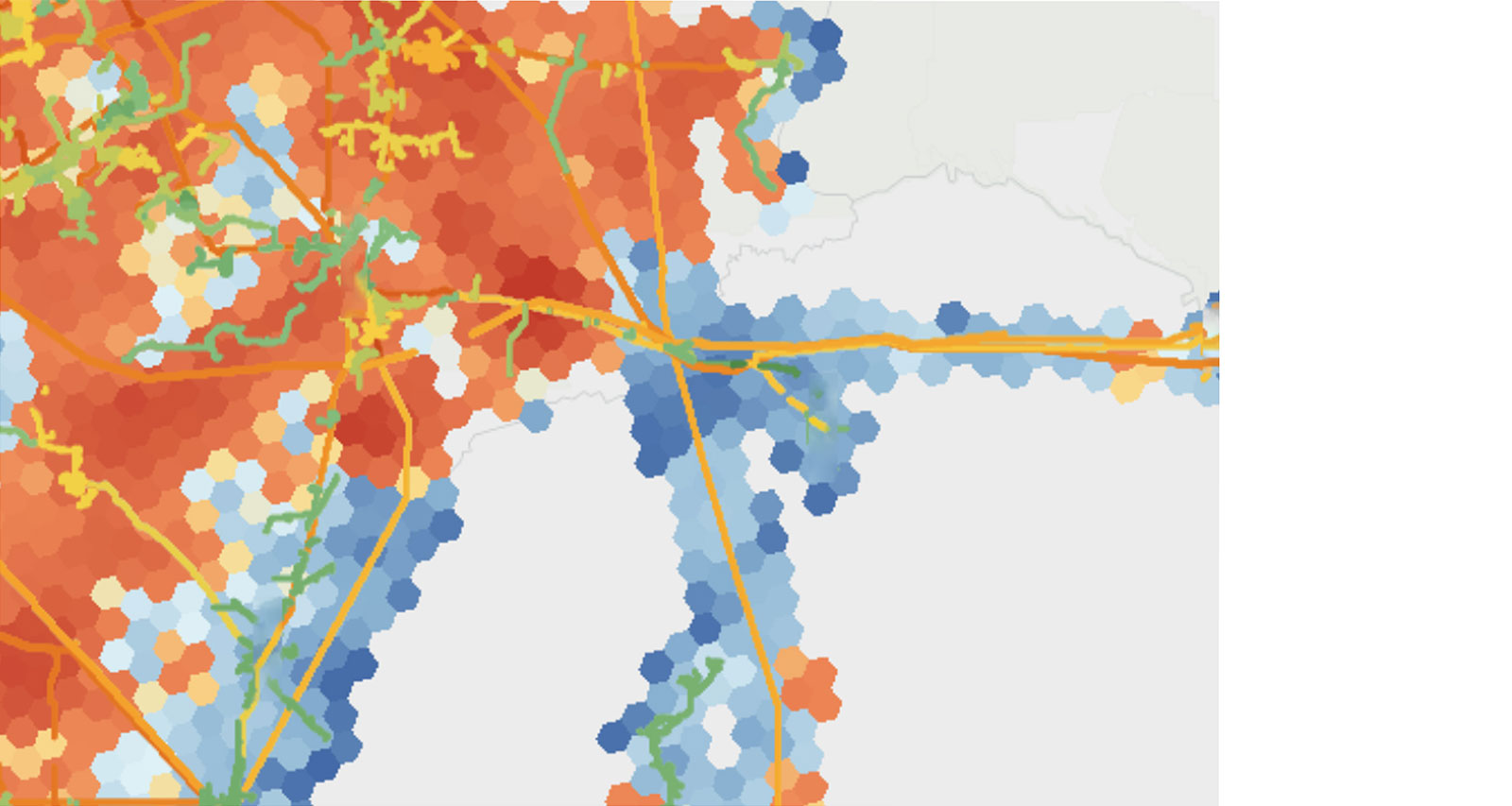
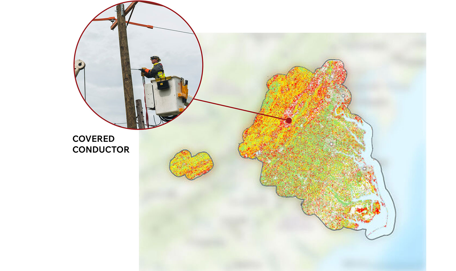
Public fire weather notifications like Red Flag Warnings are essential inputs for emergency planning — and Basic Monitoring is built to work alongside them, not replace them. Where public products are designed for broad geographic coverage, Basic Monitoring adds purpose-built metrics at four-mile resolution that capture the specific conditions most likely to result in catastrophic powerline fires. That level of granularity means utility teams can see where elevated risk aligns with asset locations and make more informed decisions about where to focus.
INVESTMENT PRIORITIZATION
Spend where it matters most.
For utilities with lower fire frequency, the goal isn’t the most expansive program — it’s the one that safeguards communities and aligns with your needs. A territory-wide static assessment establishes your actual risk exposure, directs limited mitigation dollars toward the highest-impact work, and gives your organization a science-backed foundation to build from as your program grows. The result: a wildfire risk program calibrated to your territory, your assets, and your customers — with the data to justify every decision you make.