TACTICAL ANALYST™
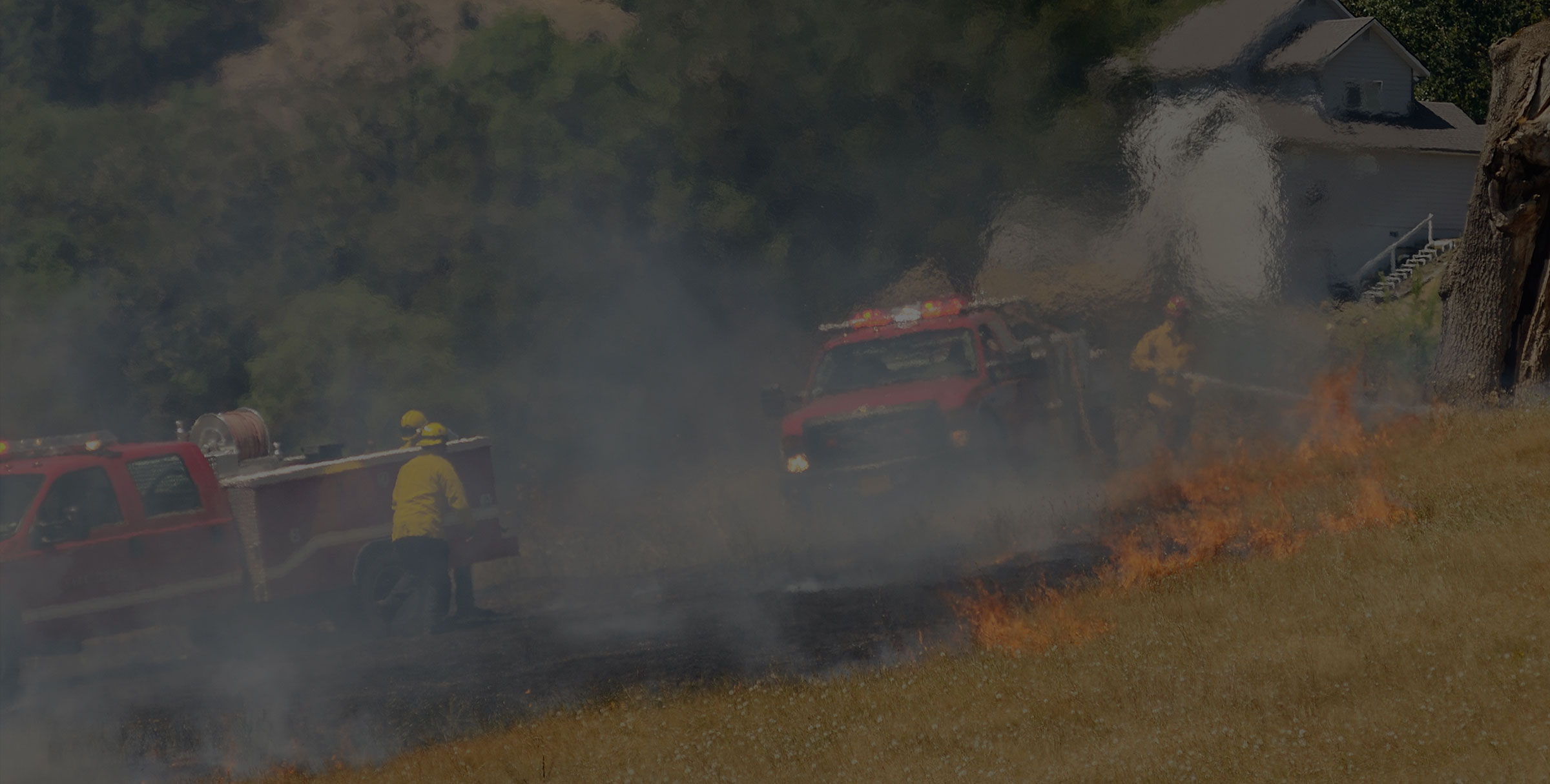
Incidents change in a blink.
See the full situation and take action faster by integrating all your wildfire operations into one environment.
INTERGATED RESOURCES
See it all start to finish.
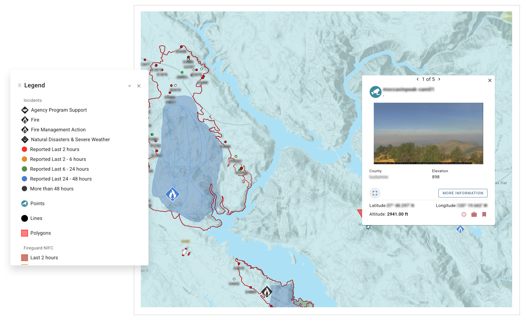
During active incident management, the Tactical Analyst™ Common Operating Picture system integrates Wildfire Analyst simulations and fiResponse dispatch services into a single centralized view.
- Connect sources including tactical field mapping, real-time and predicted weather, fire spread predictions, and more.
- Make decisions with a continuously updated overview of incident and agency resources.
- Support intel and operations efforts seamlessly across disconnected situations.
What you can do with Tactical Analyst™
Real-Time Location Tracking
Keep It All in Sight
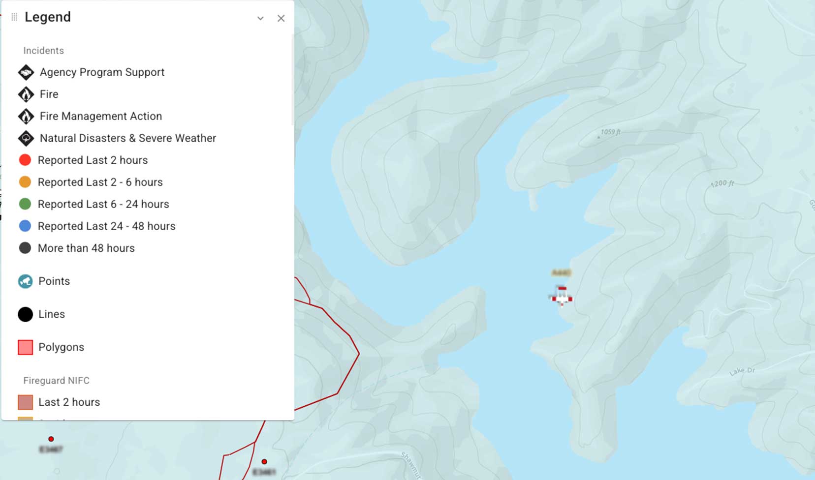
IRWIN and CAD integration supports real-time updating of incident status with resource location tracking for comprehensive situational awareness – on both web and mobile platforms.
Mobile Field Data Integration
Manage One Source of Truth
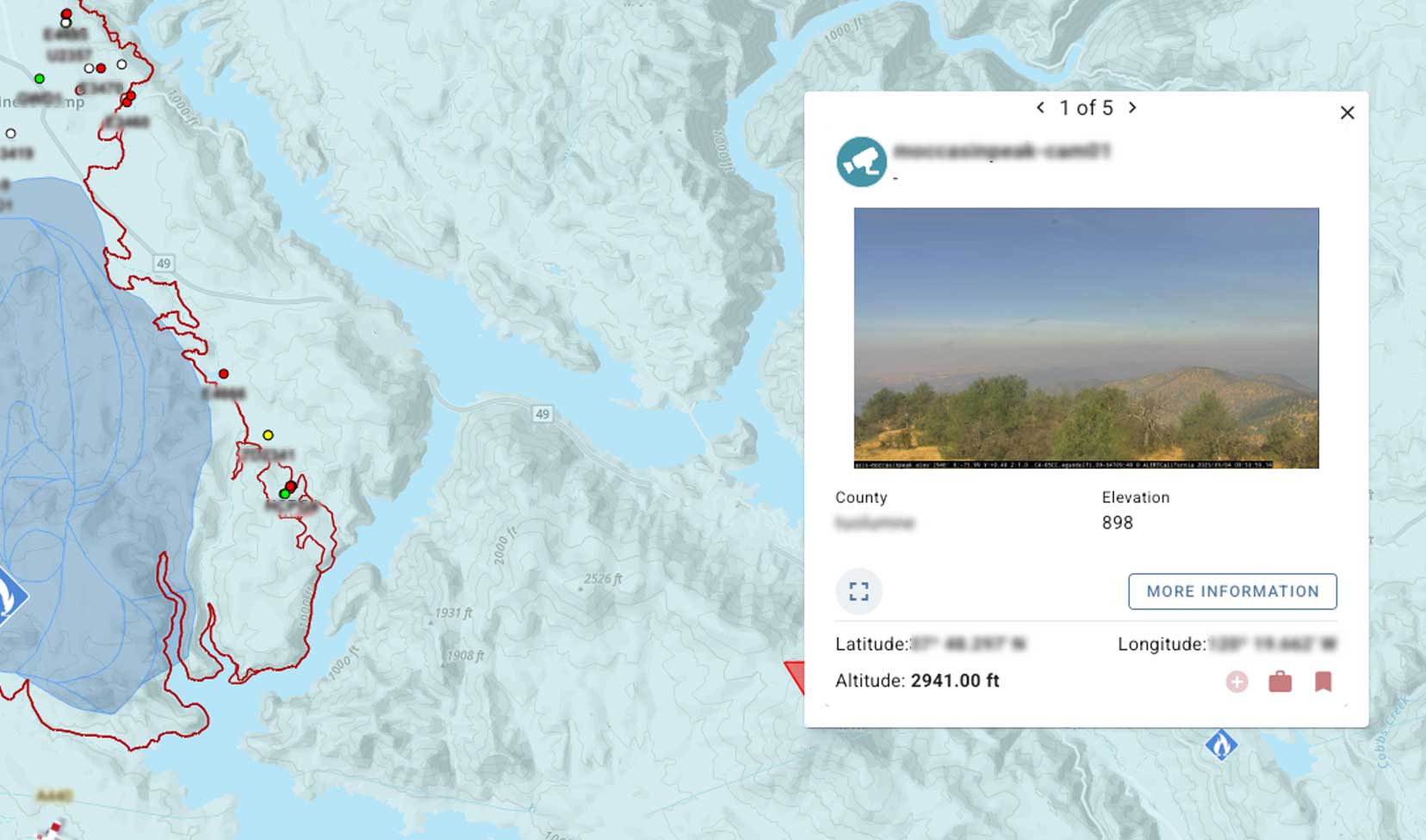
Seamlessly integrate data into the COP web environment and synchronize operational staff to prevent redundancies and align tactical data with planning information.
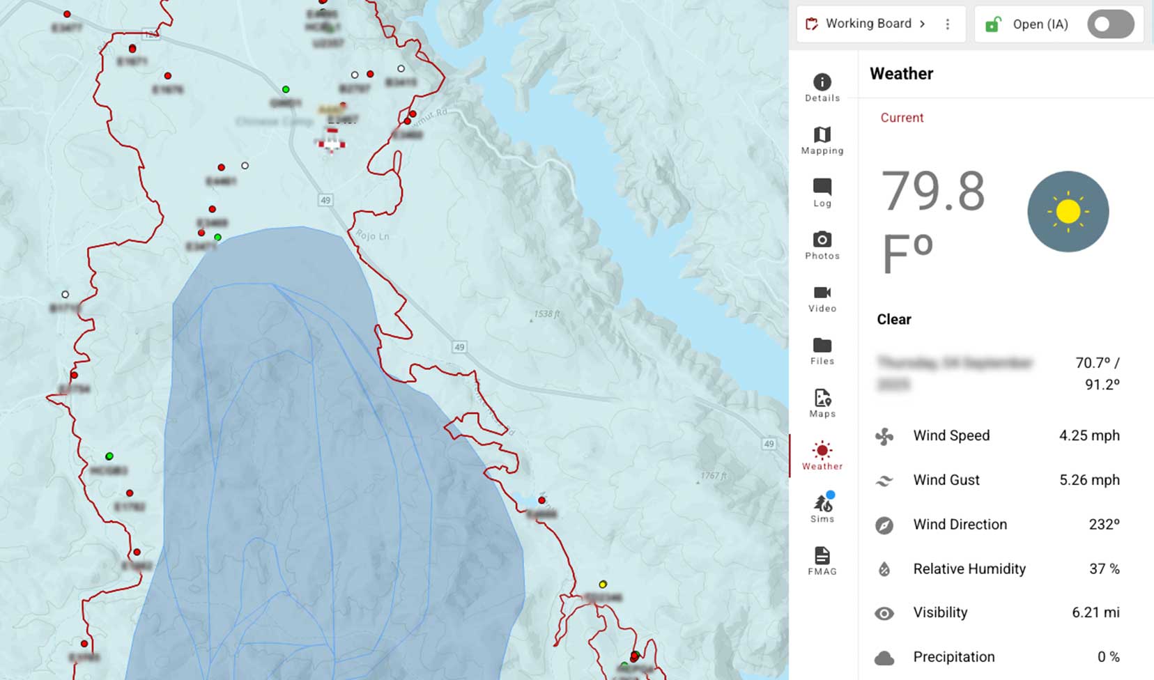
WFA Risk & Weather Forecasts
Plan Your Next Move
Integration with Wildfire Analyst™ weather prediction and risk forecasting data provides advanced information to support proactive design making.
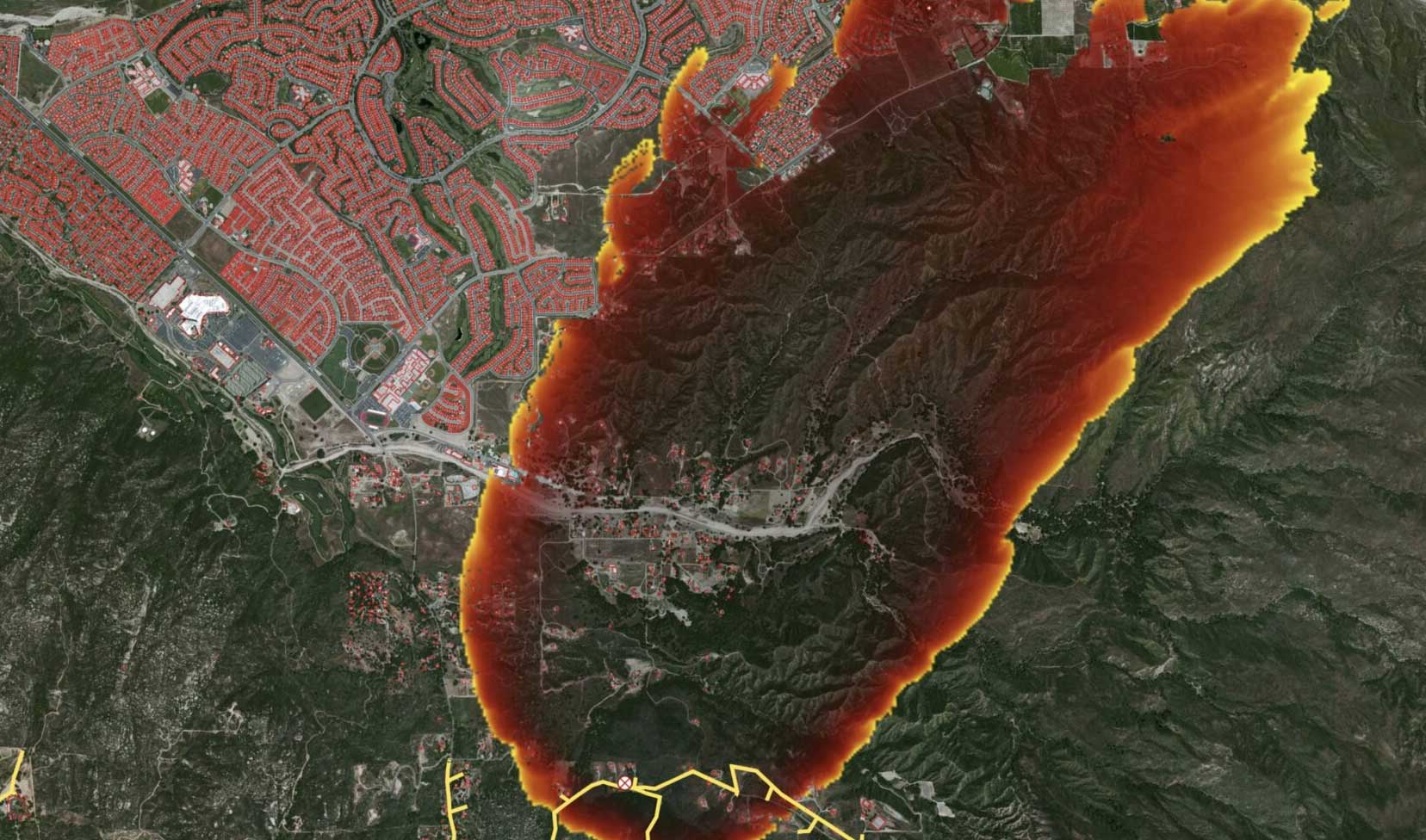
Fire Spread Predictions
See What’s Ahead
Leverage on-demand fire spread predictions from Wildfire Analyst™ for every incident, including FMAG preparation tools. Simulation reports can also be downloaded for a selected fire spread prediction on both web and mobile platforms.
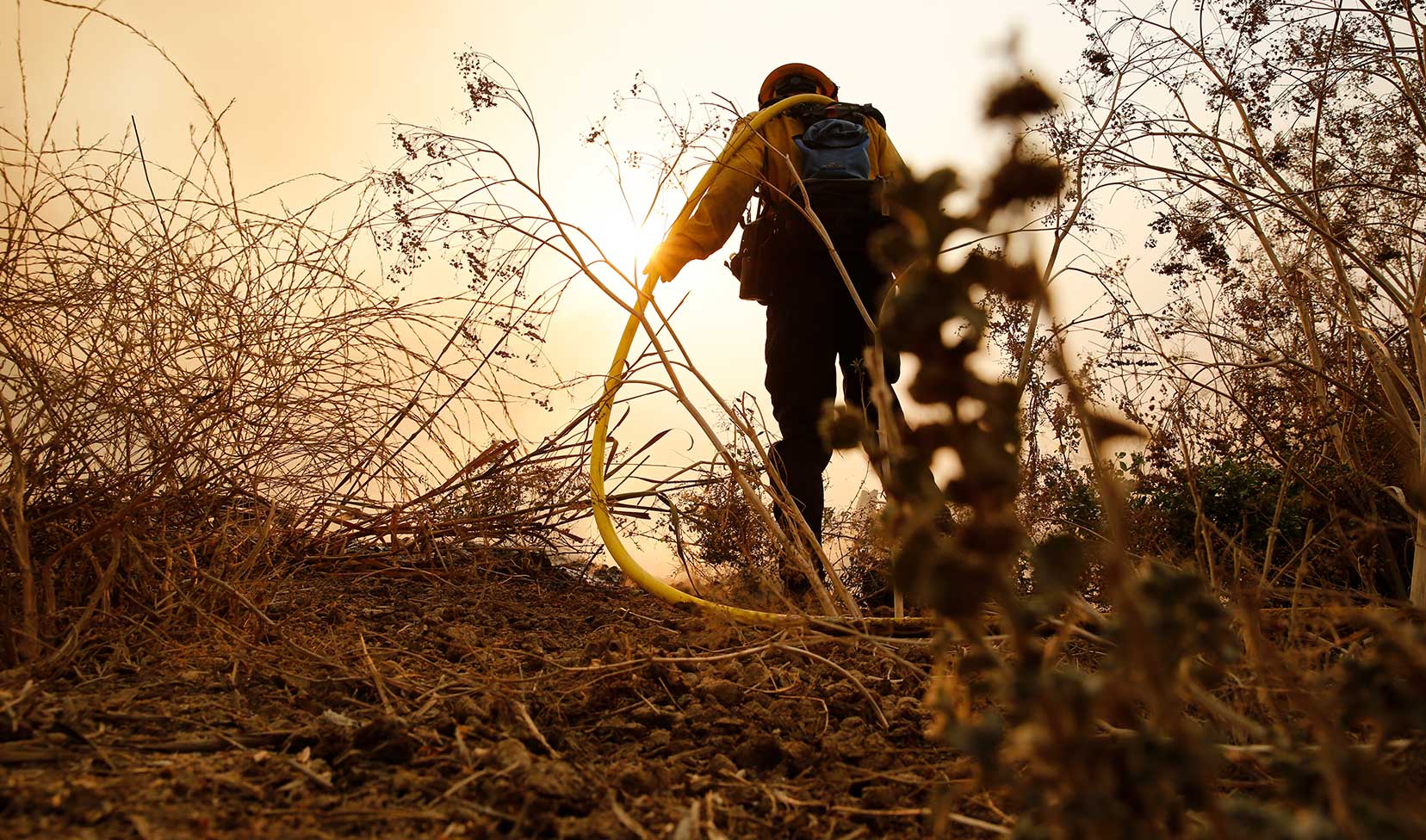
Live Data Feed Integration
Stay in the Moment
Real-time situational awareness from weather and aerial/UAV sources, along with integrated video and map editing capabilities.
TECHNOSYLVA
Risk analysis all in one place.
The Technosylva platform actively supports all your operations and planning efforts, providing a single source of clarity for confident, informed decision making.
- Proven
The only validated solution tested by fire agencies on tens of thousands of fires across decades - Trusted
Used by 20 Utilities and 13 State Fire Agencies across 29 States and 2 Provinces - Integrated
Multiple fire and weather decision criteria in one pane of glass - Scalable
Technology that evolves with your operations - Actionable
AI, machine learning, and predictive analytics provide deeper insights
Features based on experience
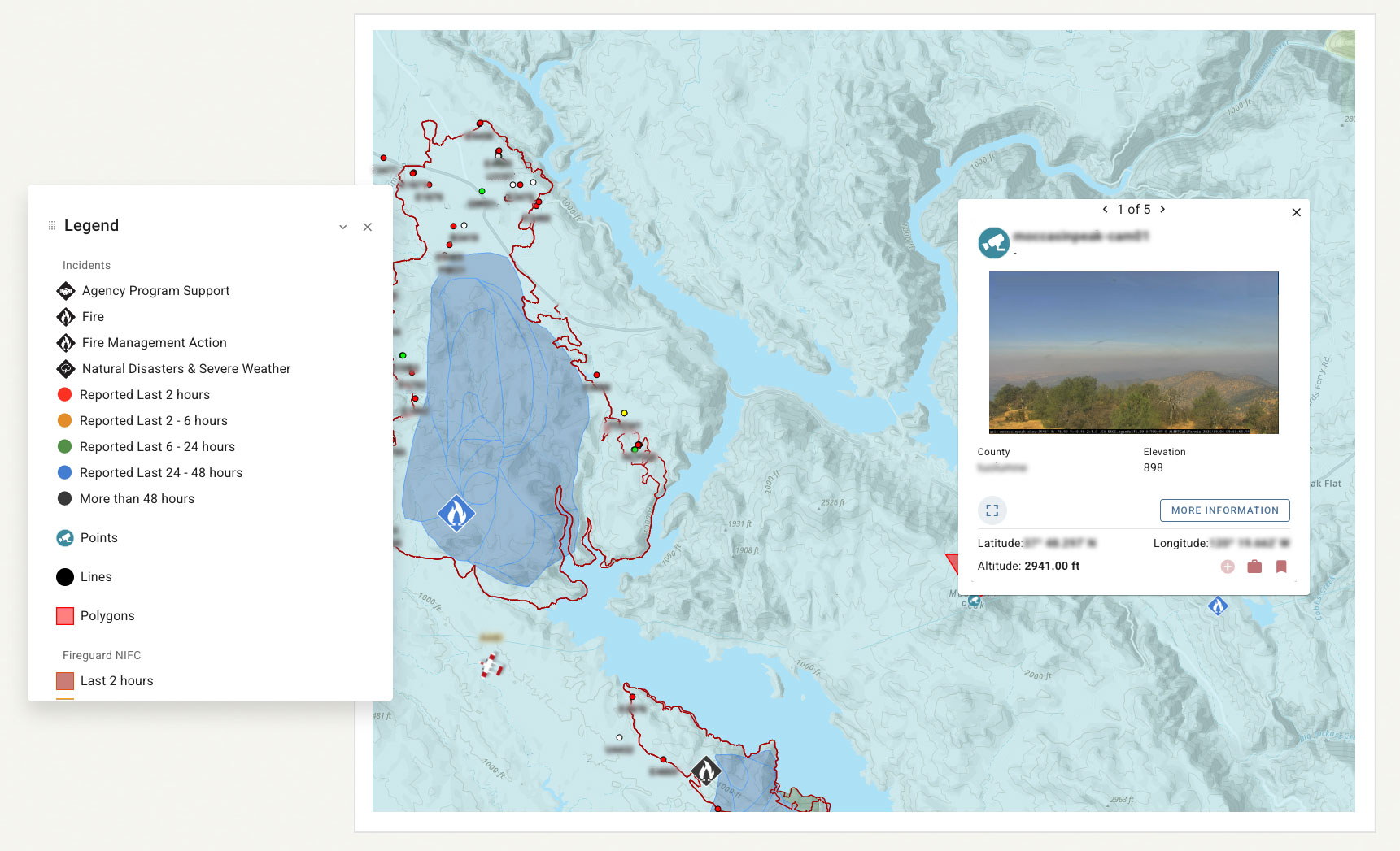
Tactical Analyst is a comprehensive COP system unique in wildfire situational awareness because it’s the only platform with features evolved over decades of testing with both fire agencies and electric utilities.
-
Multiple user-defined boards to support map augmentation and collaboration within agency groups.
-
View population and building information for a user defined area to determine potential impacts from an incident.
-
In addition to CAD integration, incidents can be created inside TA to support multi-hazard incident management.
-
Save map views and layer presets and locations to quickly change your view based on operational needs.
-
Generate simple or advanced PDF maps for an incident including IAP, Briefing and Ops maps.
-
“Pin” incidents and resources of interest to quickly find and focus them on the map.
TECHNOSYLVA CAMPUS
Included customer training
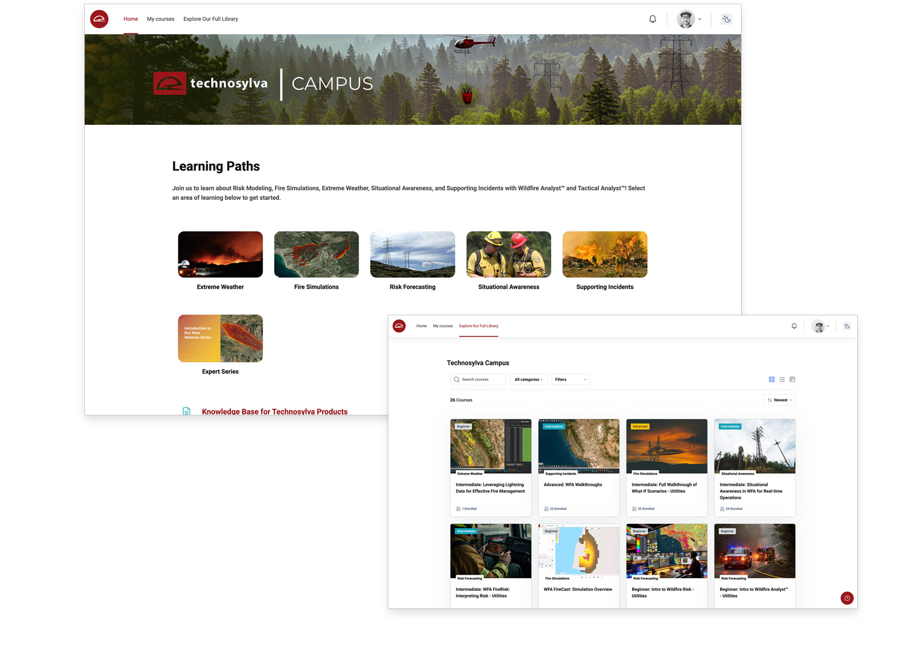
Access Technosylva Campus, our online learning platform available exclusively for our customers. Your team will find interactive modules to build confidence and efficiency in using our solutions.
- Product Training: Learn how to use our products effectively for wildfire and extreme weather response.
- Fire Risk Assessment: Evaluate and manage wildfire risk across your communities, supporting effective prevention, preparedness, and response strategies.
- Emergency Response Planning: Create and execute efficient plans to act quickly when natural hazards threaten.
- User-Specific Learning Tools: Tailored content recommended for your specific role and intended use of Technosylva products.
Trusted by CAL FIRE
See how cohesive intelligence helps Philip SeLegue, Staff Chief Fire Intelligence at CAL FIRE, improve his operation’s decision making.